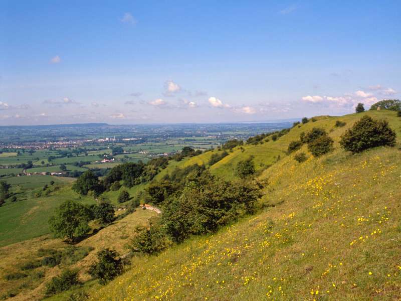
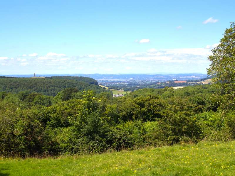
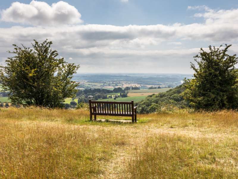
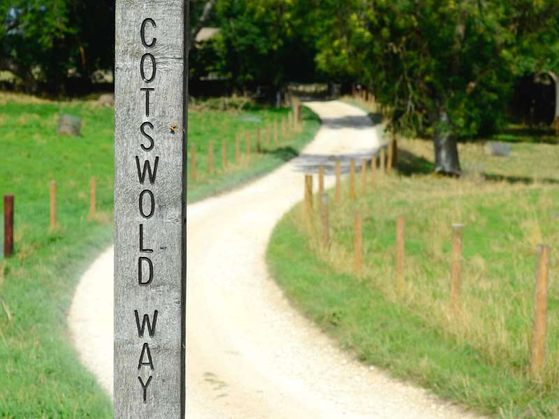
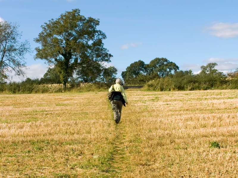
The Cotswold Way is a 102-mile (164 km) national trail that takes you through quintessential English countryside and rich historical sites, from Roman ruins to medieval marvels.
You’ll discover and marvel at the beauty of England’s past as you walk through rolling hills, idyllic villages, and fascinating historical landmarks before eventually reaching the city of Bath.
It’s an iconic route that’s on many walker’s bucket list!
Highlights of Walking The Cotswold Way National Trail
Table of Contents
The Cotswold Way runs north to south, starting in the beautiful market town of Chipping Campden before finishing in the Roman city of Bath.
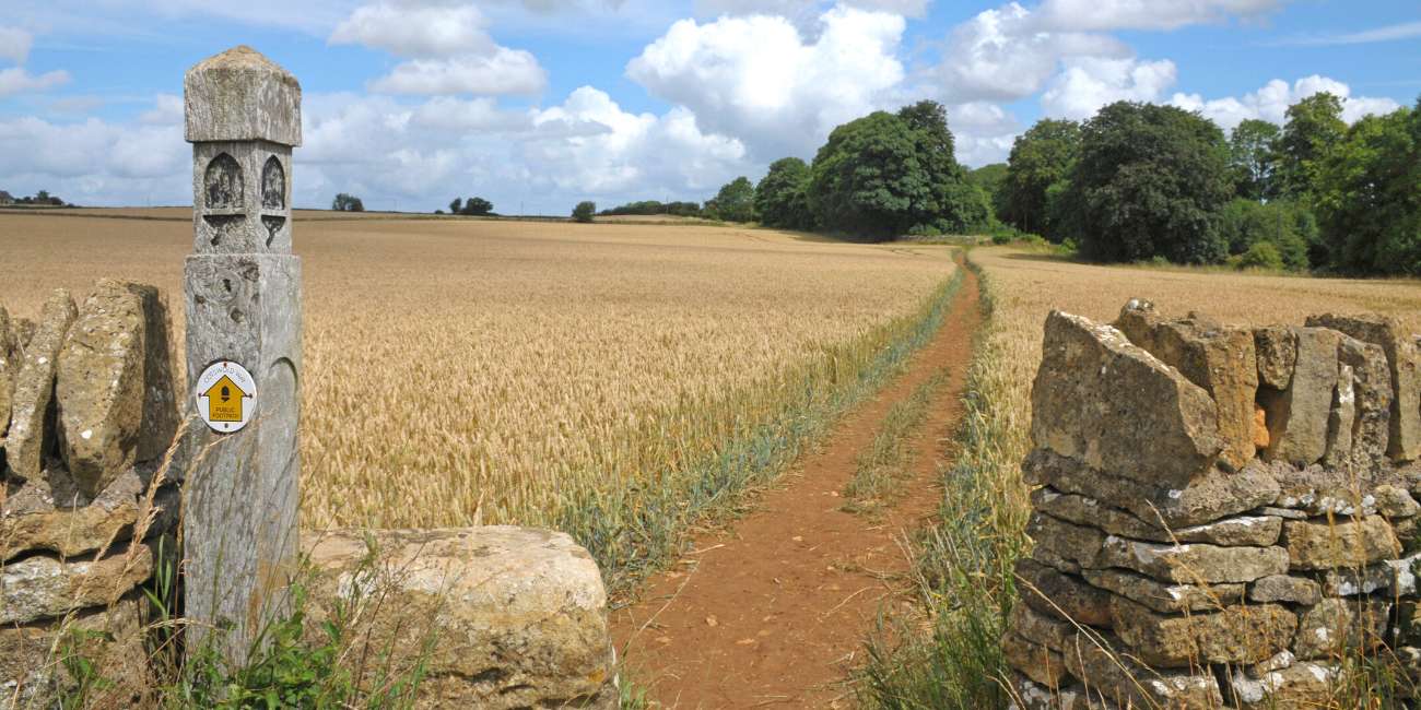
- Passing through picturesque villages like Painswick, Stanton, and Broadway.
- Walking through some of the most beautiful English countryside, including the Cotswold AONB (Area of Outstanding Natural Beauty).
- Visiting historical and ancient sites, including ancient hill forts, Roman ruins, and medieval churches, including:
- Sudeley Castle: Located in Winchcombe and dating back over 1,000 years. It was also home to Queen Katherine Parr, the last wife of King Henry VIII.
- Hailes Abbey: A ruined Cistercian monastery near Winchcombe that dates back to the 13th century.
- Broadway Tower: An iconic folly located on top of Broadway Hill, which offers stunning views of the surrounding countryside and the second highest point in the Cotswolds.
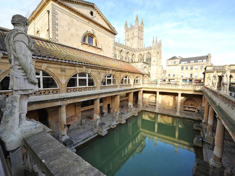
- Roman Baths: In Bath, well-preserved remains of the ancient Roman baths
- Chipping Campden: A historic market town that is known for its beautiful architecture and picturesque streets, including the famous High Street.
- Belas Knap: An ancient Neolithic long barrow that is one of the most well-preserved examples in the region.
- Painswick Rococo Garden: A unique and beautifully designed 18th-century garden in the town of Painswick.
- Sudeley Castle: Located in Winchcombe and dating back over 1,000 years. It was also home to Queen Katherine Parr, the last wife of King Henry VIII.
Plus, the Cotswold Way is easily accessible by public transport
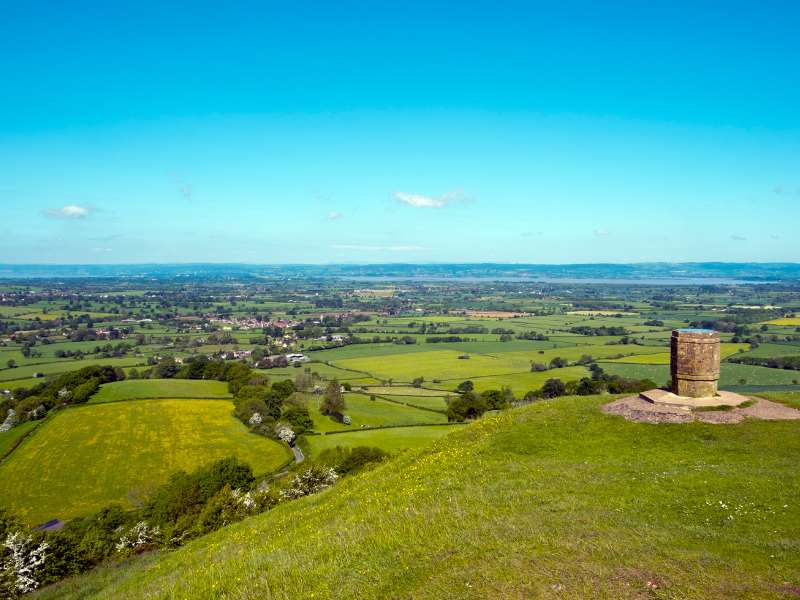
The Cotswold Way National Trail is one of 16 national trails found in the UK.
Here’s a list of all the national trails in the UK: Cleveland Way, Cotswold Way, Glyndwr’s Way, Hadrian’s Wall Path, North Downs Way, Offa’s Dyke Path, Peddars Way and Norfolk Coast Path, Pennine Bridleway, Pennine Way, Pembrokeshire Coast Path, The Ridgeway, South Downs Way, South West Coast Path, Thames Path, The West Highland Way, Yorkshire Wolds Way.
Your Day By Day Itinerary Guide To Walking the Cotswold Way
The walk usually takes people between 7 to 10 days to complete and will take you through woodlands, wildflower meadows, historic battle sites, attractive villages and more.
I’ve hiked in the UK for 20 years, have experience in teaching outdoor education and have walked the Cotswold Way, so you’re in good hands. I’ll share the highlights, point out tricky or technical sections if there are any, and share my favorite accommodations for walkers each day. Let’s get started!
Here’s what an 8-day itinerary for walking the Cotswold Way looks like:
Day 1: Walk From Chipping Campden To Stanton
- Start Point: Chipping Campden
- Distance: 11 miles (17.7 km)
- Total Ascent: 429 m (1,409 ft)
- Finish Point: Stanton
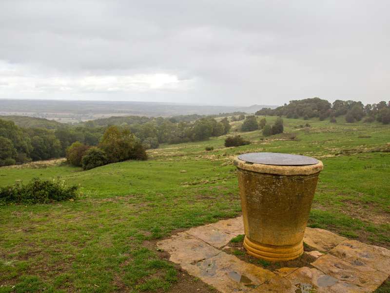
The start of your walk begins in the historic market town of Chipping Campden. You begin with a brisk walk up the 230-meter-high Dover’s Hill, where you get far-reaching views of the English countryside around you.
Shortly after you’ve finished with Dover’s Hill, you’ll arrive at Broadway Tower (a brick tower that looks like a castle) where you can catch your breath and enjoy the area’s fantastic views.
The final part of today’s walk is marked with an ascent of the 304-meter Shenberrow Hill before you eventually descend into the 17th-century village of Stanton.
There are a few places you can spend the night in Stanton, including Shenberrow B&B, The Vine B&B, or The Stanton GuildHouse.
Day 2: Walk From Stanton To Cleeve Hill
- Start Point: Stanton
- Distance: 13 miles (21 km)
- Total Ascent: 626 m (2,056 ft)
- Finish Point: Cleeve Hill
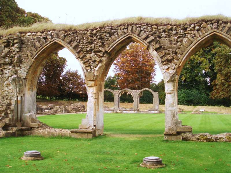
After spending the night at the charming village of Stanton, it’s time to make your way on the second day of your walk.
One of the first things you’ll pass is Stanton House, a stunning Jacobean Manor House and Water Gardens. It’s home to the tallest gravity fountain in the world.
You’ll then follow the path to the historic ruins of Hailes Abbey, a former Cistercian abbey, which marks the perfect spot for lunch.
Once you’ve finished lunch, you’ll descend into the town of Winchcombe before passing the Grade 1 listed Sudeley Castle and its ten gardens.
And you do all this before reaching my highlight of the day, Belas Knap, a huge Neolithic burial chamber.
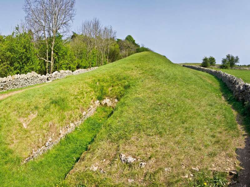
You’ll finish your day at 340 meters above sea level, on Cleeve Hill, the highest point of the Cotswold Way. And it’s where you’re going to spend the night.
You only have one option for accommodation here, so make sure you book a night at the Upper Hill Farm Bed & Breakfast well in advance.
Day 3: Walk From Cleeve Hill To Birdlip
- Start Point: Cleeve Hill
- Distance: 16 miles (26km)
- Total Ascent: 699 m (2,295 ft)
- Finish Point: Birdlip
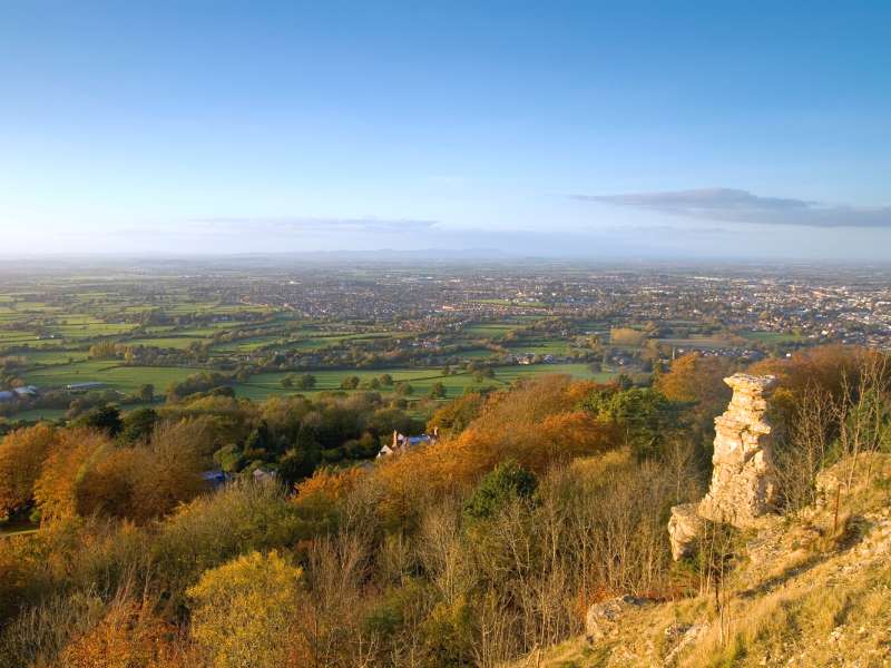
You’ll start your day by heading along the west side of the escarpment, which gives you stunning views of the town of Cheltenham and across the Vale of Gloucester.
After a short walk, you’ll make your way down to Dowdeswell Wood Nature Reserve, where you’ll be walking parallel to it.
During this section of the hike, you’ll see an abundance of brightly coloured flowers that look like carpets to the trees. It’s a beautiful part of today’s walk if you hit the trail when the flowers are in full bloom.
Shortly after, you’ll pass Seven Springs, a small hamlet in a very wooded area. As you’re hiking up the 300-meter-high Leckhampton Hill, keep an eye out for the Devil’s Chimney, a very distinctive pinnacle of rock.
You’ll descend down Crickley Hill before reaching the village of Birdlip, your resting place for the night.
Although today is officially surpassed to finish at Birdlip, I suggest stopping just before that at The Barn, which is an excellent little accommodation.
Day 4: Walk From Birdlip To Painswick
- Start Point: Birdlip
- Distance: 7 miles (12 km)
- Total Ascent: 279 m (918 ft)
- Finish Point: Painswick

Today’s walk is excellent. You leave Birdlip and walk through woodland until you reach Cooper’s Hill. For those of you that don’t know, this is where you can see the site of the famous annual cheese rolling festival.
You should make a short detour to visit the Prinknash Abbey, a Roman Catholic monastery; it’s a beautiful location.
Your final part of today’s hiking is marked at Painswick Beacon, where you can see more stunning views across the Severn Vale.
Your stopping point is the market town of Painswick, where you can stay at The Falcon Inn, Court House Manor, or Croft House Guest Suite.
Day 5: Walk From Painswick To King’s Stanley
- Start Point: Painswick
- Distance: 9 miles (14 km)
- Total Ascent: 354 m (1,162 ft)
- Finish Point: King’s Stanley
Today was one of my favorite days of the whole hike. The first part of the walk takes you up the 256-meter Scottsquar Hill before heading to Haresfield Beacon (an area of scientific interest), where you can get stunning countryside views.
You then head over to Stroudwater Canal before you reach the town of King’s Stanley for the night.
Be sure to check out Stanley Woollen Mills for a glimpse into wool-making history. You can spend a night at the Orchardene or The Grey Cottage.
Day 6: Walk From King’s Stanley To Wotton-Under-Edge
- Start Point: King’s Stanley
- Distance: 15 miles (24 km)
- Total Ascent: 780 m (2,561 ft)
- Finish Point: Wotton-Under-Edge
Your walk starts through the stunning ancient woods Called Penn Wood and features many sharp ascents and descents with great views of the area.
The path continues out of the woodland and into farmland, where you’ll reach the market town of Dursley.
It’s another steep climb onto Stinchcombe Hill (218 meters) before you reach North Nibley Village.
Your day finally ends at the town of Wotton-Under-Edge, where you can spend the night at The Swan.
Day 7: Walk From Wotton-Under-Edge To Tormarton
- Start Point: Wotton-Under-Edge
- Distance: 15 miles (24 km)
- Total Ascent: 623 m (2,075 ft)
- Finish Point: Tormarton
Today you will follow streams before rising up the escarpment to be greeted by some impressive views of the English countryside.
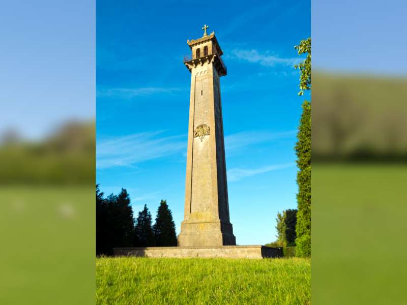
The path continues through the countryside to the Somerset Monument, which was built in 1846 to commemorate Lord Robert Edward Somerset.
After that, you pass through the Horton Court, considered the oldest vicarage in England. You then pass through the charming villages of Horton and Old Sodbury before reaching the town of Tormarton.
You can spend a night at the Noades Studio before taking on your final leg of the hike to Bath.
Day 8: Walk From Tormarton To Bath
- Start Point: Tormarton
- Distance: 16 miles (26 km)
- Total Ascent: 512 m (1,681 ft)
- Finish Point: Bath
Shortly after leaving Tormarton, you reach the 17th-century house called Dyrham Park, which is home to an ancient deer park.
Some of the highlights of this section of the walk are the famous Bath Racecourse and Prospect Stile, where you can look across to the Black Mountains in Wales.
You’ll finally arrive at Bath, where you’ll spend the night after a long day of walking. I highly recommend spending a day or two exploring this gorgeous city renowned for its Ancient Roman baths, impressive Georgian buildings and historical landmarks.
Then. you can get a train back to wherever you need to get to fairly easily.
Cotswold Way Accommodation Guide
For your easy reference, here is a list of where you’ll want to book your accommodations for the 8-day itinerary:
Arrival Day: Chipping Campden
Day 1: Stanton. Our Recommendations: Shenberrow B&B, The Vine B&B or The Stanton GuildHouse
Day 2: Cleeve Hill. Our Recommendation: Upper Hill Farm Bed & Breakfast
Day 3: Birdlip. Our Recommendation: The Barn
Day 4: Painswick. Our Recommendations: The Falcon Inn, Court House Manor or Croft House Guest Suite
Day 5: King’s Stanley. Our Recommendations: Orchardene or The Grey Cottage
Day 6: Wotton-Under-Edge. Our Recommendation: The Swan
Day 7: Tormarton. Our Recommendation: Noades Studio
Day 8: Bath
Frequently Asked Questions About Walking the Cotswold Way
How to Get There And Back?
Your best option is to get the train to Moreton-In-Marsh or Stratford-Upon-Avon before getting the bus to Chipping Campden.
On the way back you can use the train station at Bath, which is very well connected.
When Is The Best Time To Walk the Cotswold Way?
You can definitely expect warmer weather during the summer, but it’s also peak season for the trail, so you’ll need to book accommodations ahead of time.
What Hiking Gear Do I Need for the Cotswold Way?
Here’s our list of recommended trekking gear for a multi-day walk like this. Of special note is Merino wool, which will keep you cool in summer and warm if you’re walking in spring or fall.
Plus, you can wear it multiple times without having to wash it, which is perfect for a walk like this.
Plus, I like to bring a good hiking book so I have something to read in the evenings (usually on my Kindle) and record the day in my hiking journal.
And for the ladies who still want to look good while doing this route, check out our hiking makeup tips.
More Information on Walking the Cotswold Way
Guidebooks are great sources of information, like this guidebook which includes a route planner, route maps if you’re planning on doing it by yourself.
Final Thoughts & Takeaways
The Cotswold is a stunning area with plenty of history and breathtaking landscapes to keep you entertained throughout your walk.
There’s no better way to explore the area than hiking the Cotswold Way. Share this post with someone you want to walk the Cotswold Way with.
Be sure to check out these other walks in the UK:
- Hiking the Snowdonia Way Mountain Route: 97 Miles of Amazing Views
- The Snowdon Horseshoe: Your Guide to Climbing the 4 Peaks in Snowdonia
- 9 Best Hikes in Snowdonia National Park, Wales
- Hadrian’s Wall Walk: How to Walk Britain’s Largest Intact Roman Artefact
- Three Peaks Challenge: How to Successfully Climb the UK’s 3 Highest Mountains
- Coast to Coast Walk: Day by Day Itinerary to England’s Popular Walk
- Climbing Scafell Pike: 5 Routes to Reach the Highest Mountain in England
- 12 Best Hikes and Walks in the Lake District of England
- West Highland Way: How to Plan For Scotland’s First Long-Distance Hike
- The Wicklow Way Walking Tour: What You Need to Know
