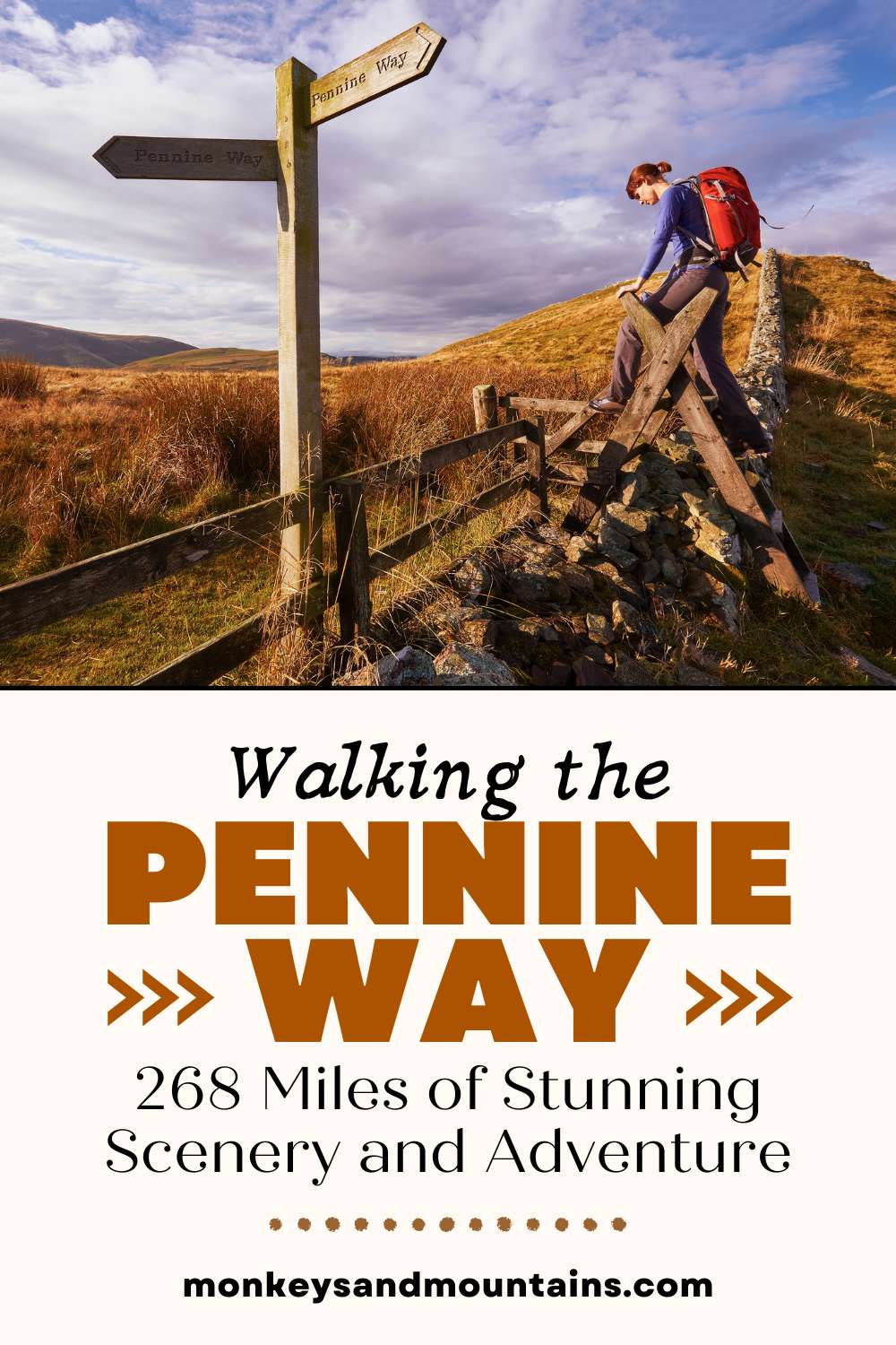
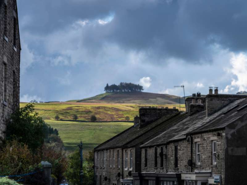
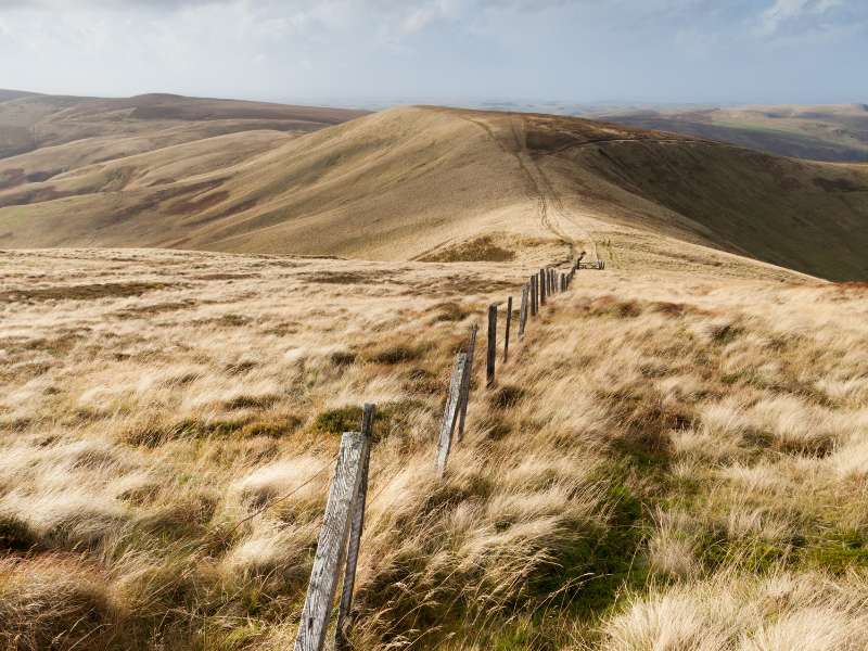
If you’re looking for one of the UK’s best longest-distance trails (268 miles, 429 km), you’re in for a treat with the Pennine Way! It takes you through three national parks: the Peak District, the Yorkshire Dales, and Northumberland National Park.
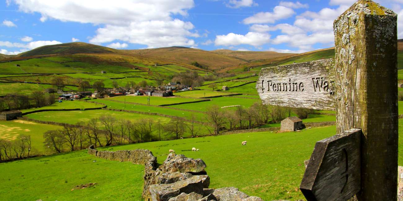
The Pennine Way starts from Edale in Derbyshire and finishes in Kirk Yetholm in Scotland. It takes you through the Pennines, a range of hills and mountains that stretch from Derbyshire to the Scottish border.
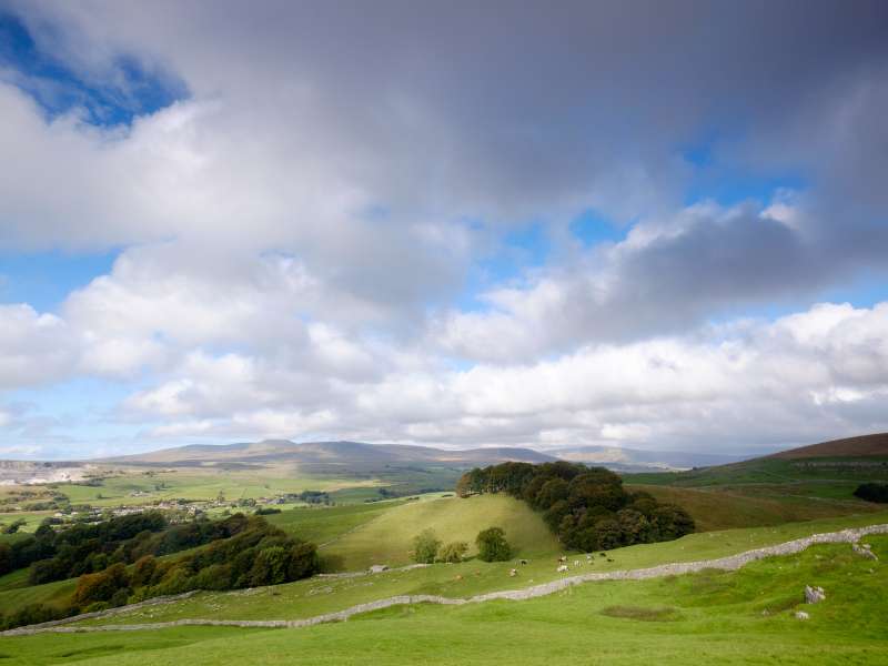
You’ll walk The trail crosses some of the highest and wildest parts of England, including the Cheviot Hills and the famous Hadrian’s Wall.
The Pennine Way is known for its rugged and challenging terrain, including steep ascents and descents, boggy moorland, and exposed ridges.
It was first officially opened in 1965 and was the first national distance walking trail in the United Kingdom.
If you don’t think you’re one of those people that won’t end up waist-deep in a bog, come back after you’ve done the walk to see if you feel the same.
It attracts walkers from around the world, with approximately 10,000 hikers completing the Pennine Way each year.
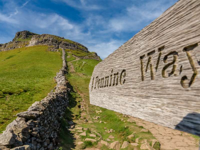
When walking the Pennine Way, look for the corn symbol – it’s used to indicate national trails in the UK.
The Pennine Way National Trail is one of 16 national trails found in the UK.
Table of Contents
Here’s a list of all the national trails in the UK: Cleveland Way, Cotswold Way, Glyndwr’s Way, Hadrian’s Wall Path, North Downs Way, Offa’s Dyke Path, Peddars Way and Norfolk Coast Path, Pennine Bridleway, Pennine Way, Pembrokeshire Coast Path, The Ridgeway, South Downs Way, South West Coast Path, Thames Path, The West Highland Way, Yorkshire Wolds Way.
Here’s everything you need to know about walking the Pennine Way:
I’ve hiked in the UK for 20 years, have experience in teaching outdoor education and have walked the Pennine Way, so you’re in good hands. I’ll share the highlights, point out tricky or technical sections if there are any, and share my favorite accommodations for walkers each day. Let’s get started!
Your 18-Day Itinerary for the Pennine Way Walk:
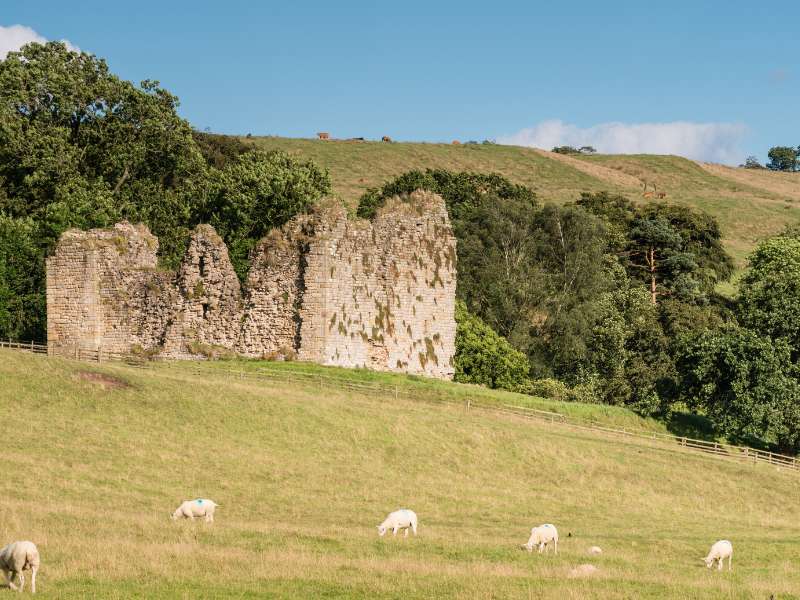
Stage 1: Walk From Edale To Crowden
- Start Point: Edale
- Distance: 16 miles (25.6 km)
- Total Ascent: 663 m (2,175 ft)
- Finish Point: Crowden

You’d be wrong if you thought the Pennine Way walk would start you off gently. The Pennine Way Walk starts aggressively to let you know exactly what’s in store for the rest of your hike.
Your hike starts at the village of Edale and kicks off with your second-longest ascent of the walk. That said, you get exceptional views from the top of Bleaklow Head, which is an excellent way to introduce you to the beauty of the Lake District.
After you’ve tackled the 633-meter peak of Bleaklow Head, a gentle hike through fields quickly becomes a steep climb as you hit the gritstone moors of the Lake District.
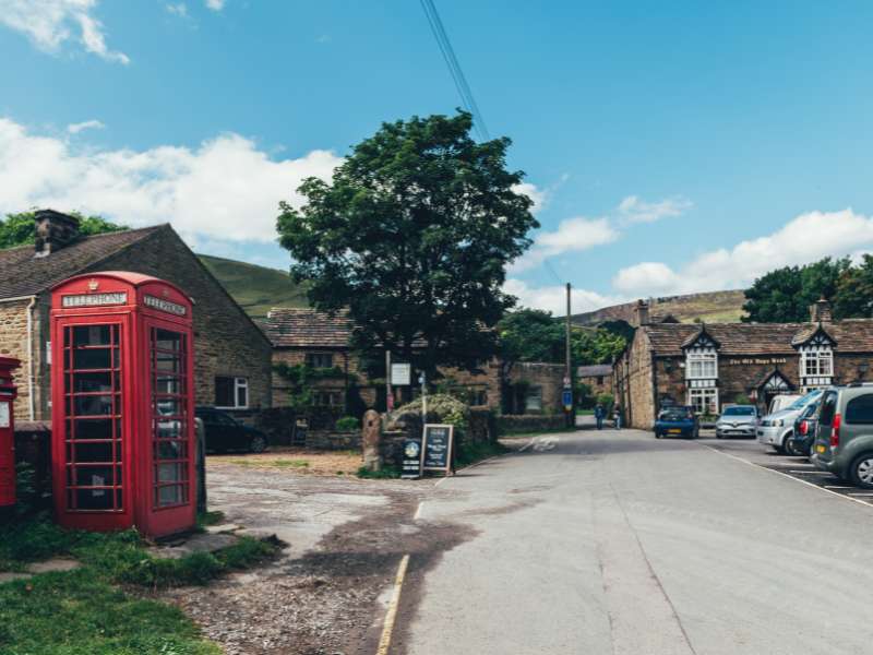
Make sure you keep an eye on your navigation; it’s easy to come off course. Eventually, you’ll make it to the small village of Crowdon, where you can rest your head for the night or camp at the Crowden Camping site.
Stage 2: Walk From Crowden To Standedge
- Start Point: Crowden
- Distance: 13.2 miles (21 km)
- Total Ascent: 614 m (2,011 ft)
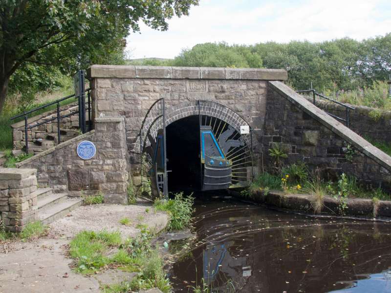
- Finish Point: Standedge Tunnel
Today is a relatively short day compared to the day before and what’s to come, but it’s still every bit as challenging.
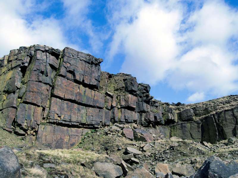
The route takes you over Black Hill, which stands at 582 meters; it’s mainly moorland and stone flagstones, making walking difficult and slow.
You’ll find that this section of the route isn’t as scenic as the previous day, and it’s undoubtedly a more leisurely walk, but that doesn’t mean it doesn’t have charm. You have great views of the moorland and the valleys that surround it.
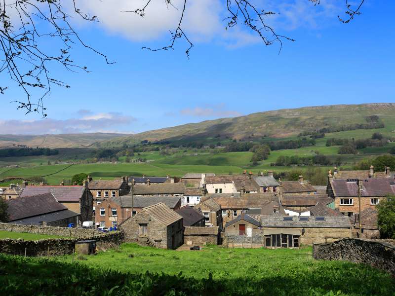
Although most people say you should finish the day at Standedge Tunnel, it’s probably best to stop off in the village of Marsden for the night. They have a few great places to get a room for the night, including The Scullery and Crow Hill Cottage.
Stage 3: Walk From Standedge To Hebden Bridge
- Start Point: Standedge
- Distance: 17.3 miles (28 km)
- Total Ascent: 437 m (1,437 ft)
- Finish Point: Hebden Bridge
Most people will claim the worst is behind you now, or as Wainwright says, “from now on, the Pennine Way can be enjoyed.”
But if I’m honest, it was probably one of my least favorite days. There’s not a lot to admire regarding scenery, and it’s a long day of walking.
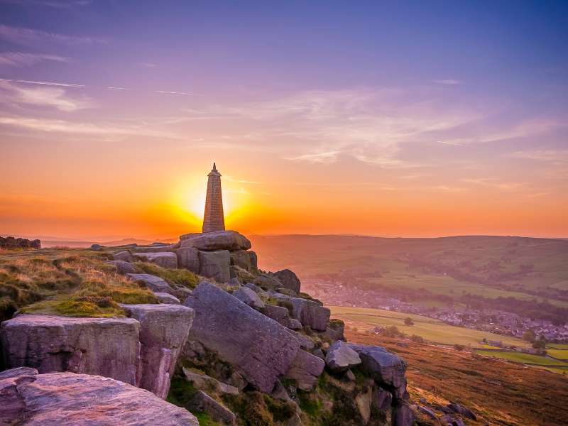
The hike takes you over Blackstone Edge before eventually reaching Blackstone Edge Reservoir. You’ll continue north to the village of Cragg Vale, where you’ll get views of Stoodley Pike on a clear day.
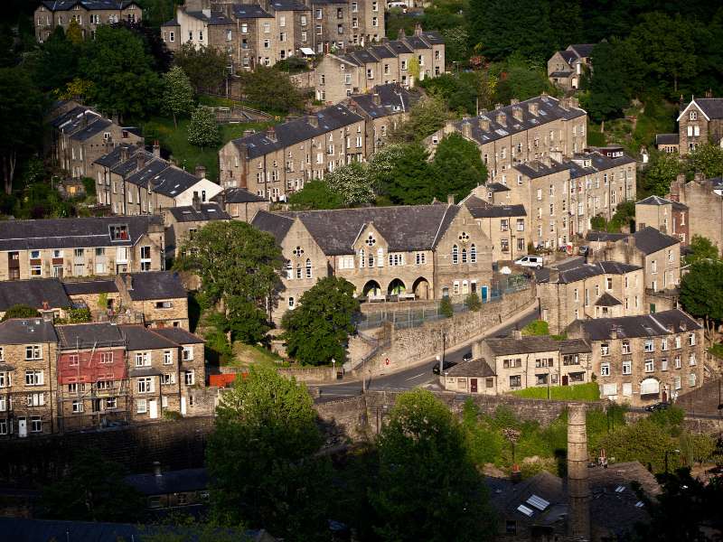
Your hike ends at the market town of Hebden Bridge, where you can find plenty of accommodation. I recommend staying at the Hebden Bridge Hostel due to its proximity to the route.
Stage 4: Walk From Hebden Bridge To Cowling
- Start Point: Hebden Bridge
- Distance: 17.3 miles (28 km)
- Total Ascent: 657 m (2,156 ft)
- Finish Point: Cowling
Today will be a long day, but not the longest one altogether. It starts with a relatively brisk walk out of Hebden Bridge, where you can enjoy watching cute lambs bounce around the fields (season permitting).
From there, it’s a beautiful stretch of walking to Heptonstall Moor, where you get some of my favorite views of the Bonte country landscape and up to Ickornshaw Moor.
And, of course, you’ll pass by plenty of natural reservoirs, including Gorple Lower and Widdop Reservoir, which you can admire along the way. Make sure you keep an eye on your map reading; it’s not an easy land to navigate!
You’ll finish your day at Cowling, where there are limited places to stay, so make sure you book ahead of time. Accommodation includes Chapel House, Squirrel Cottage, and Winterhouse Barn B&B.
Stage 5: Walk From Cowling To Malham
- Start Point: Cowling
- Distance: 18 miles (29 km)
- Total Ascent: 402 m (1,322 ft)
- Finish Point: Malham
You’ll notice that this section of the hike is mostly mud, but there is a gem at the end of the day that makes the whole walk worth it.
Make your way through Cowling towards the Aire Gap, which forms a geographical corridor between the Yorkshire Dales and South Pennines. In other words, it separates the gritstone from the limestone.
During the walk, you’ll pass through plenty of charming villages, including Broughton and Gargrave, which have great cafes en route to stop at for lunch or for a coffee.
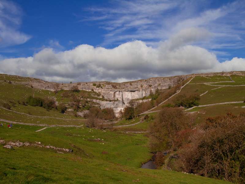
Before you reach your accommodation, make sure you check out the Malham National Park Visitor Center to check out the stunning limestone crags and possibly watch people climbing.
There are plenty of cool places to spend the night, including Miresfield Farm, The Lister Arms, and Malham Glamping Pods.
Stage 6: Walk From Malham To Horton In Ribblesdale
- Start Point: Malham Cove
- Distance: 15.2 (24.6 km)
- Total Ascent: 523 m (1,716 ft)
- Finish Point: Horton In Ribblesdale
This is one of my favorite days on the Pennine Way, but I added a few more stops to check out, making the day stunning.
Firstly, I’d recommend starting your day walking to Gordale Scar (a limestone ravine) in Yorshire Dales National Park, where you can see a stunning waterfall that runs down the gorge.
From there, I headed to Janet’s Foss, which is a stunning waterfall with a watering hole at the bottom.
After that waterfall, you’re not finished with waterfalls. You can make your way to Scaleber Force Waterfall, which is a multi-layer waterfall.
And you’re not done with the adventure yet; head north to Victoria Cave and spend some time exploring.
The final adventure is at the cascade waterfall, Stainforth Force; if you’re feeling adventurous, you can head to Catrigg Force (another stunning waterfall), but it makes for a tough day.
Your adventure ends for the day in Horton In Ribblesdale, a small Civil Parish, where you can stay in luxury camping pods at Ribblesdale Pods.
Stage 7: Walk From Horton In Ribblesdale To Hawes
- Start Point: Horton In Ribblesdale
- Distance: 14 miles (22.4 km)
- Total Ascent: 339 m (1,112 ft)
- Finish Point: Hawes
After such an adventurous day, I was ready for something a little more relaxed, which is precisely what you get with this section of the Pennine Way.
There aren’t many highlights to look forward to today, yet it’s still quite an enjoyable section.
You’ll follow old packhorse routes and roman roads until you gently ascend over the Dales, making a sharp drop into the town of Hawes.
Again, there are plenty of places to stay the night, including the YHA Hawes and Bainbridge Caravan & Campsite.
Stage 8: Walk From Hawes To Keld
- Start Point: Hawes
- Distance: 12.5 miles (20 km)
- Total Ascent: 374 m (1,227 ft)
- Finish Point: Keld
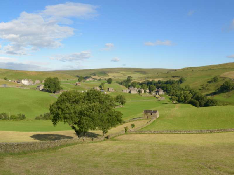
This is another excellent section of the Pennine Way Walk. A gradual but exciting climb takes you to the moors and over Great Shunner Fell, which will be one of the highest points on your hike so far.
You’ll pass by many more waterfalls before eventually crossing paths with the Coast to Coast Walk before making your way to the village of Keld.
There are only a few places to stay the night in Keld, so make sure you book in advance. You have the campsite Rukin’s and Keld Lodge or Butt House B&B if you’re looking for some comfort.
Stage 9: Walk From Keld To Bowes
- Start Point: Keld
- Distance: 13 miles (21 km)
- Total Ascent: 302 m (922 ft)
- Finish Point: Bowes
You’re going to start the day with a steep walk toward Tan Hill, the highest point of the Pennine Way in the Richmonshire District and home to one of the best pubs in the area. What makes this part of the walk special is that you’ve officially made it to the halfway point. Congratulations!
The opinion of today’s hike is split; although it provides stunning views, it’s a very wet section of the route.
You’ll pass through several monuments, including fabulous valleys, a Bronze Age burial site, and Stainmore Gap.
Before you finish, you’ll have the choice to take on the Bowes Loop and stay at the Ivy Hall Farm Campsite or get a head start to Bowes and stay at the Ancient Unicorn.
Stage 10: Walk From Bowes To Middleton In Teesdale
- Start Point: Bowes
- Distance: 15 miles (24 km)
- Total Ascent: 359 m (1,178 ft)
- Finish Point: Middleton in Teesdale
If I’m honest, this was one of my least favorite days of the hike; due to bad weather and compared to the previous days, there wasn’t much to see.
From Bowes, you head up to Hannah’s Meadows while passing a few natural reservoirs includingHury Reservoir.
If you have time, stop at Grassholme Observatory, which lies next to Grasshome Reservoir, before heading to Middleton-In-Teesdale.
There aren’t many places to stay in Teesdale, but you could try the Aspens Teesdale or Leekworth Caravan Park.
Stage 11: Walk From Middleton In Teesdale To Dufton
- Start Point: Middleton in Teesdale
- Distance: 20 miles (32 km)
- Total Ascent: 452 m (1,483 ft)
- Finish Point: Dufton
For many people, this is the best day of the entire route. You’ve already passed many waterfalls on this hike, but the ones you pass on this section of the walk are spectacular.
You’ll start the walk by trekking through a pretty flower meadow while following the River Tees. You’ll then follow a picturesque valley before scrambling by Cauldron Snout Waterfall. Be careful; this section can be slippery.
The last part of your adventure today is Big Cup Nick, a beautiful valley with stunning views. It ends in Dufton; you’ll be more than ready for bed by now. There are a few places you can stay tonight, including The Stag Inn and Brow Farm.
Stage 12: Walk From Dufton To Alston
- Start Point: Dufton
- Distance: 20 miles (32 km)
- Total Ascent: 967 m (3,173 ft)
- Finish Point: Alston
Unfortunately, you have another tough day ahead of you with a sharp 967m of elevation gain. The route is tricky and very exposed, but it’s a good day, so you should enjoy it.
You’ll cross over three summits, including the notorious Cross Fell, where you need your navigation to be on point.
The descent goes down to the small village of Garrigill and then to the Corpse Road Miner’s Track, which feels like it never ends.
Your final stop for the day is Alston town, where you can spend the night at Alston Youth Hostel or Lord Mayors Barn.
Stage 13: Walk From Alston To Greenhead
- Start Point: Alston
- Distance: 16 miles (25.6 km)
- Total Ascent: 171 m (564 ft)
- Finish Point: Greenhead
Okay, this could be a better day; most people would describe it as one of their least favorite days. It’s a long, tedious, and dull day walking, plus it can be a bit fiddly to navigate, so be warned, it’s not going to be your best day on the Pennine Way.
If walkers make it to the end with dry feet, guarantee they’ve cheated and taken a taxi (trust me, it happens a lot in this section).
After 16 miles of walking, you finally arrive at your resting point for the night. Greenhead, which is a Civil Parish. There aren’t many places to stay the night, so book ahead. You have a couple of options, including Tilly Cottage and Greenhead.
Stage 14: Walk From Greenhead To Once Brewed
- Start Point: Greenhead
- Distance: 7 miles (11 km)
- Total Ascent: 141 m (463 ft)
- Finish Point: Once Brewed
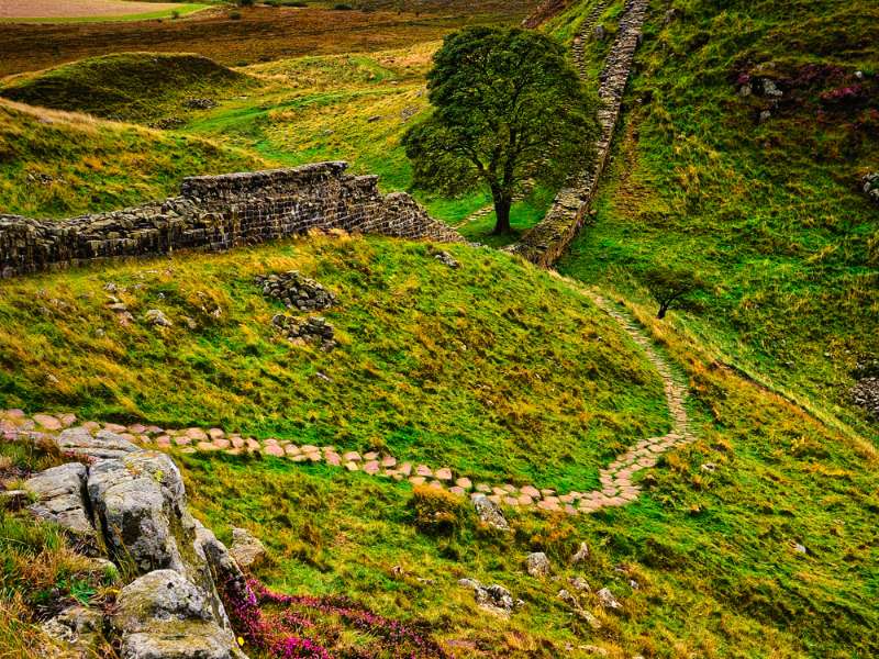
It had been a long hard slog up until this point, so I rewarded myself with a very short walk today. You’re going to walk part of the famous Hadrian’s Wall Path until you reach the village of Once Brewed.
It’s only a seven-mile walk today to Once Brewed. This way, you can get plenty of rest for the next day. I suggest you spend the night at the aptly named Twice Brewed Inn for the night. You can also check out Sycamore Gap if you have some energy.
Stage 15: Walk From Once Brewed To Bellingham
- Start Point: Once Brewed
- Distance: 15.5 miles (24.94 km)
- Total Ascent: 384 m (1,260 ft)
- Finish Point: Bellingham
There are a lot of ups and downs today, but you’re in for a visual treat, so take it all in. You’ll follow the wall to Housesteads Roman Fort, where you can glimpse at the history, which is very impressive.
Eventually, you break off from the wall towards the quiet Wark Forest and then through farmland and moor. And you’ll finish your day at the village of Bellingham, where you can stay at Brown Rigg Lodges or Riverdale Hall.
Stage 16: Walk From Bellingham To Byrness
- Start Point: Bellingham
- Distance: 15 miles (24 km)
- Total Ascent: 442 m (1,450 ft)
- Finish Point: Byrness
From Bellingham, you’re in for another tough day. It feels like it’s split into two sections, a heathery moor, where you’ll be hoping bogs, and then wild forests.
You’ll have to tackle the moors first, but it has a beautiful purple tone if you’re hiking in September.
Once you’ve dealt with the moorland, it’s on to the forests before ending up in the village of Byrness for the night, where you can stay at Forest View Walkers Inn.
Stage 17: Walk From Byrness To Windy Gyle
- Start Point: Byrness
- Distance: 14 miles (22 km)
- Total Ascent: 469 m (1,539 ft)
- Finish Point: Windy Gyle
Today is a warm-up for the day you’re going to have tomorrow; both days are brilliant, so enjoy!
The route is straightforward because it often follows the fence that marks the border of England and Scotland.
Be warned; this is also a military training area where blank rounds are fired, so don’t pick up anything from the floor.
Your day ends after a very exposed walk at Windy Gayle (a 619-meter mountain). It’s going to be a wild camping day today, so make sure you have enough food and water to get you through until the end of the Pennine Way.
Quick Note: Many people skip Windy Gyle and head straight to Kirk Yetholm; it’s up to you how you want to play it. If you don’t want to camp, you’re going to need to head straight to Kirk Yetholm from Byrness. There is very limited accommodation between these two points.
Stage 18: Walk From Windy Gyle To Kirk Yetholm
- Start Point: Windy Gyle
- Distance: 13 miles (21 km)
- Total Ascent: 959 m (3,146 ft)
- Finish Point: Kirk Yetholm
Congratulations, it’s your final day of hiking, and it’s brilliant. You’re going to be walking through a lot of marshy and boggy land, but you’ll have great views.
You’ll finish the day with a massive descent into Kirk Yetholm, a tiny village in Scottland, which can feel pretty emotional, considering how far you’ve walked.
Pennine Way Accommodation Guide
For your easy reference, here is a list of where you’ll want to book your accommodations for the 18-day itinerary:
Arrival Day: Edale
Day 1: Crowden. Our recommendation: Crowden Camping site
Day 2: Marsden. Our recommendation: The Scullery or Crow Hill Cottage
Day 3: Hebden Bridge. Our Recommendation: Hebden Bridge Hostel
Day 4: Cowling. Our Recommendations: Chapel House, Squirrel Cottage or Winterhouse Barn B&B
Day 5: Malham. Our Recommendations: Miresfield Farm, The Lister Arms or Malham Glamping Rods
Day 6: Horton In Ribblesdale. Our Recommendation: Ribblesdale Pods
Day 7: Hawes. Our Recommendations: YHA Hawes or Bainbridge Caravan & Campsite
Day 8: Keld. Our Recommendations: Rukin’s Campsite, Keld Lodge or Butt House B&B
Day 9: Bowes. Our Recommendations: Ivy Hall Farm Campsite or Ancient Unicorn
Day 10: Teesdale. Our Recommendations: Aspens Teesdale or Leekworth Caravan Park
Day 11: Dufton. Our Recommendations: The Stag Inn or Brow Farm
Day 12: Alston. Our Recommendations: Alston Youth Hostel or Lord Mayors Barn
Day 13: Greenhead. Our Recommendations: Tilly Cottage or Greenhead
Day 14: Once Brewed. Our Recommendation: Twice Brewed Inn
Day 15: Bellingham. Our Recommendations: Brown Rigg Lodges or Riverdale Hall
Day 16: Byrness. Our Recommendation: Forest View Walkers Inn
Day 17: Windy Gyle. Our Recommendation: Kirk Yetholm
Day 18: Kirk Yetholm
Frequently Asked Questions About Walking the Pennine Way
Where does the Pennine Way start and finish?
It starts in Edale. You can get there by using the Hope Valley Line, which runs between Manchester and Sheffield. The trains are regular, so you shouldn’t have any problems.
The Pennine Way finishes in Kirk Yetholm. Getting back from there is tricky because it doesn’t have a train station. You’ll need to get the bus to Kelso, which will pick you up from Border Inn. From Kelso, you can get a train to most places.
How long Does Pennine Way Walk Take?
The hike can take anywhere between 16-20 days; it depends on your fitness level. Remember, some days you’re going to be walking 20 miles. It’s a 268-mile hike, so it’s not for the faint-hearted. Many walkers also include a rest day since it’s so long.
When is the Best Time To Walk the Pennine Way?
British weather is unpredictable at any time of the year, so in the Pennines, it’s important to be prepared for all conditions, including rain, wind, and snow.
The summer months (June to September) generally have the best weather. Plus, the days are long, and temperatures are warmer.
However, there can still be rain and wind, so be prepared by having the right hiking gear, especially waterproof trousers and other waterproof clothing.
The summer months are also the busiest times on the trail, so be sure to book your accommodation in advance.
You can avoid the crowds by walking the Pennine Way in April to May or September to October. However, it will likely be wetter then, making the moors boggy and slippery, so you need to be prepared for this.
Where To Get Food & Drink on the Pennine Way?
One of the most challenging things about walking the Pennine Way is that being so remote is that there are limited services, and it can be hard to find food stops. While there are restaurants, shops and cafes on the route, you really need to plan it out a couple of days in advance, unlike other hikes in the UK. On many days you’ll want to bring a packed lunch and hiking snacks.
You’ll also want to have a good hiking breakfast before you head out each day.
What about Water on the Pennine Way?
In general, it is not difficult to find water on the Pennine Way, as there are many natural sources of water, such as streams, rivers, and springs. You’ll want to bring a water purifier if you’re planning on drinking from natural water sources. You can also refill your water bladder and bottles in villages and towns
However, it’s important to be aware that water sources can be scarce in certain areas, especially in dry weather, and it’s not uncommon for streams to dry up during the summer months.
Be sure to carry extra water until you reach the next town or village to ensure that you don’t run out. Lack of water on any walk is never any fun. Here’s how much water to bring.
Are there rest stops or shelters on the Pennine Way?
Yes, you’ll be able to find bothies (basic shelters) that are usually located in remote areas of the trail. They’re free to use and offer a roof over your head and some basic facilities such as a fireplace, but you will need to bring your own bedding, food supplies and other supplies.
You’ll also find picnic areas and benches: There are many picnic areas and benches along the Pennine Way which offer a place to rest and enjoy the scenery, a much-needed break.
What Gear Do I Need For Walking the Pennine Way?
Here’s our list of recommended trekking gear for a multi-day walk like this. Of special note is buying clothing made from Merino wool, which is perfect for English weather, especially if you’re doing the walk in spring or fall.
Plus, I like to bring a good hiking book, so I have something to read in the evenings (usually on my Kindle) and record the day in my hiking journal.
And for the ladies who still want to look good while doing this route, check out our hiking makeup tips.
Related Reading: The Wicklow Way Walking Tour: What You Need to Know
More Information on the Pennine Way
Guidebooks are great sources of information, like the guidebook Pennine Way: British Walking Guide if you’re planning on doing it by yourself.
The Pennine Way Facebook group where you can ask questions bout the route and connect with other walkers.
Final Thoughts & Takeaways On the Pennine Way
The Pennine Way Walk is a fantastic experience, but it’s very challenging due to the daily distances and terrain you’re covering.
It’s also a pretty remote walk, so you need to be prepared and know where you’re going to top up on food for breakfast, lunch, and dinner. You’ll also want to bring plenty of hiking snacks.
But this is definitely a hike for you if you love stunning landscapes and historical monuments!