Snowdonia National Park in North Wales is one of the most breathtaking walking destinations in the UK. It never ceases to leave you speechless while gazing at the rock-covered mountains surrounding you.
And if you’ve been looking for the best hikes in Snowdonia, you’ve come to the right place.
I’ll give you some insights into where to walk and hike in Snowdonia. With 823 square miles, nine mountain ranges and 15 peaks over 3000 ft, to explore, you’re spoiled for choice, so I’ll help you narrow it down.
9 Best Hikes In Snowdonia
Table of Contents
I’ve hiked in the UK for 20 years, have experience in teaching outdoor education and have walked and hiked extensively in Snowdonia, so you’re in good hands. I’ll share the best hikes, point out tricky or technical sections if there are any, and share the highlights of each hike. Let’s get started!
Snowdonia was formed in the Ordovician Period around 485 million years ago and is thought to be caused by one of the most violent volcanic eruptions.
And thanks to that, you’ll find the mountainous landscapes very dramatic. And this has led hikers from all over the world and from the UK to come here.
#1 The Bochlwyd Horseshoe (Tryfan & Glyders Walk up Two Mountains)
- Trailhead: Car parking near Milestone Buttress
- Trail Length: 5 miles (8 km)
- Difficulty: Difficult
- Elevation Gain: 953 m (3,126 ft)
- Trail Type: Loop
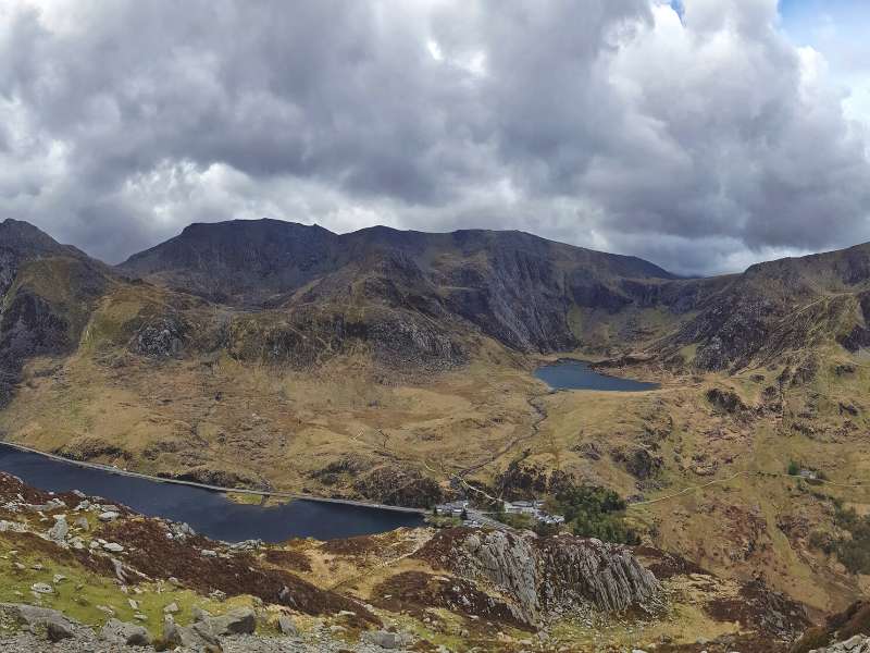
I’m going to start this list off with my favorite walking route in Snowdonia, The Bochlwyd Horseshoe Circular Route. The trail is only 5 miles long and gains around 953 meters in elevation, but it involves scrambling most of the route and is a demanding hike.
Depending on your fitness level and scrambling skills, you should be able to do this hike in 5-10 hours.
I love this hike because it’s impossible to complete without using your hands, which can make it very exciting. It’s considered a Grade 1 scramble, but there are more complex variations if you’re up to the challenge and want to test your skill level.
The route takes you up the Tryfan North Ridge, one of Snowdonia’s most popular scrambling routes offering incredible views.
While hiking Tryfans north face, you’ll pass the famous “Cannon,” where you can take an excellent picture. And at the top of the mountain, you’ll find Adam & Eve; it’s said that if you jump from one rock to the other, you’ll gain the freedom of Tryfan.
From there, you’ll walk down the mountain’s south side to Glyder Fach (Small Mound), where you’ll find the famous Cantilever Stone, and then to its bigger brother Glyder Fawr (Big Mound).
Finally, you’ll head down to Y Gribin, which features yet another scramble, so take it slow and steady.
It’s considered one of the best hikes in Snowdonia, so make sure you check it out.
#2 The Snowdon Horseshoe
- Trailhead: Pen Y Pass, Snowdonia National Park
- Trail Length: 7 miles (11.2 km)
- Difficulty: Difficult
- Elevation Gain: 1,010 m (3,313.6 ft)
- Trail Type: Loop
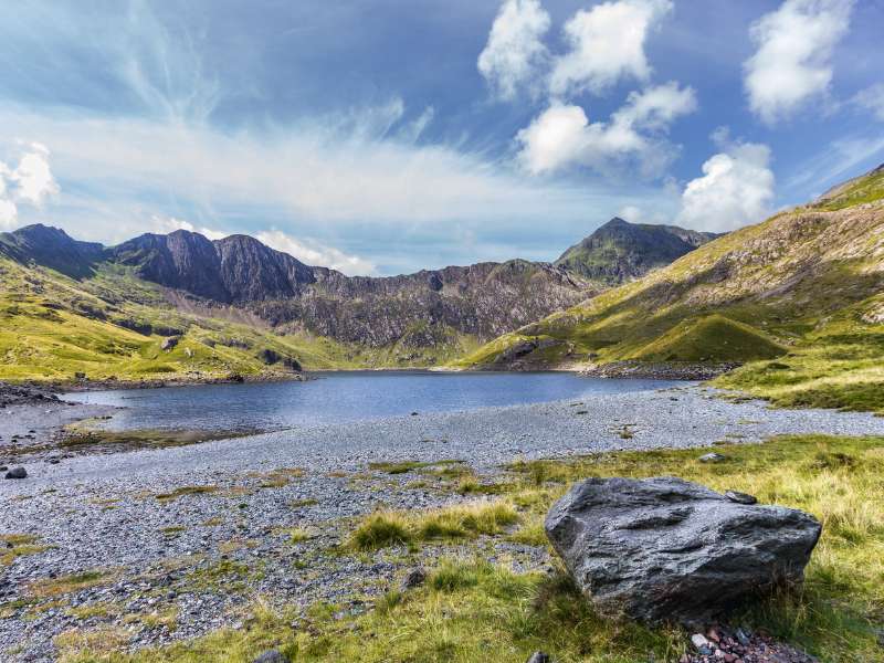
Next, we’re going to look at my second favorite hike, but this one is not for the faint-hearted; only the hardiest hiker will want to take on the knife-edge ridge.
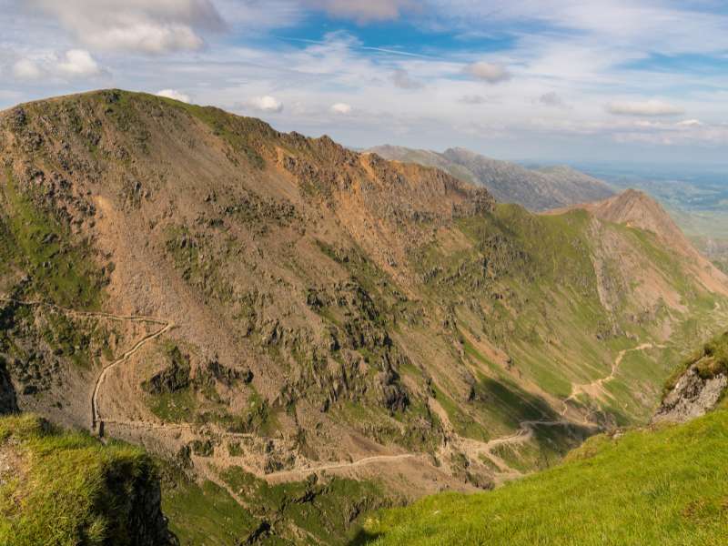
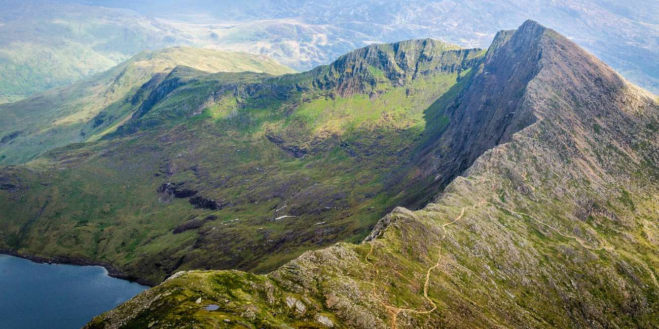
I’ve been hiking all my life, and I’ve taken some pretty big routes, but nothing has tested my nerve like the Snowdon Horseshoe, Crib Goch arête (ridge) in particular. It’s one of the most challenging hikes I’ve ever done and is a true mountain adventure.
The scramble loop starts at Pen-y-Pass car park, and I’d suggest you get there early because the car park fills up quickly.
From there, you’re going to take on the most intimidating part of your hike, the Crib Goch’s knife-point rocky ridge. It’s marked down as a Grade 1 scramble, but the thin edge and exposure on either side make it more challenging and will test your skill level.
As you shuffle along the ridge, you’ll eventually reach the final obstacle, the three pinnacles. If you’re up for the challenge, you can take them head-on; if not, you can skirt around the side.
Once the main challenge is out of the way, it gets a little less nerve-racking but still features some great scrambling. The next part of your journey takes you up Garnedd Ugain and Crib y Ddysgl.
If you pick the intelligent line, you shouldn’t have any issues, and you’ll quickly arrive at the route that takes you to Snowdon’s summit (one of the peaks in the 3 Peaks Challenge), where you’ll get stunning views of the mountain ranges. You’ll be taking the Llanberis Path hiking trail, which will likely be very busy.
From the summit of Mount Snowdon (the tallest mountain in Wales), you’ll walk past the cafe at the top and start your final scramble towards Lliwedd. Eventually, you’ll descend the mountain towards Llyn Llydaw before returning to Pen-Y-Pass.
#3 Beddgelert & Aberglaslyn Walk
- Trailhead: Beddgelert or Nantmor National Trust Car Park
- Trail Length: 4.7 miles (7.7 km)
- Difficulty: Easy
- Elevation Gain: 361 m (1,184.3 ft)
- Trail Type: Loop
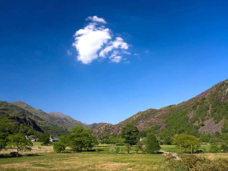
If you’re looking for an easy walk in Snowdonia, you’ll be happy to know Beddgelert & Aberglaslyn Walk is a much easier hiking route than the ones above and is a great half-day hike.
This route is excellent for people who are beginner hikers or without a high level of fitness to take on some of the more challenging routes or people who love a deep dive into mythology. I love walks that have a story.
The hike takes you past Gelert’s Grave, which is said to be the resting place of Gelert. Gelert was the faithful hound of the Medieval Prince Llewelyn the Great, who killed his dog by accident.
The story is that Gelert ran up to the Prince with a muzzle full of blood. He found the walls splattered with blood and an upturned cradle when looking for his son. Fearing his hound had killed his son, he drove his sword through the dog’s heart.
Shortly after, the Prince heard crying from under the cradle and found his son alive next to a dead wolf, which the dog had killed to save his son.
Anyway, enough with stories, what about the hike?
As mentioned earlier, this trail takes you through the beautiful village of Beddgelert, where you’ll pass Gelert’s Grave.
You’ll also get to explore the awesome pass of Aberglaslyn before making your way through the narrow gorge of the Afon Glaslyn River.
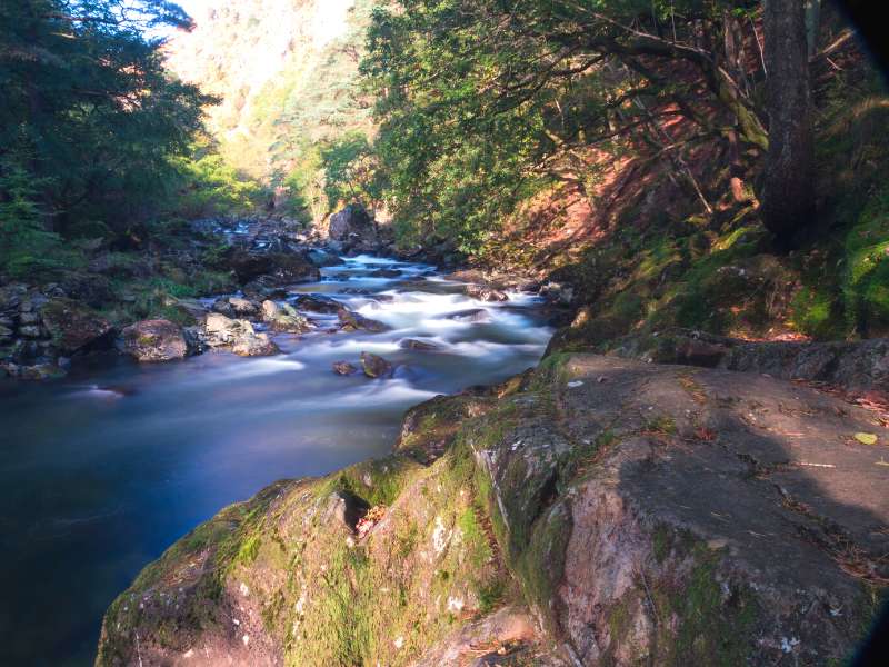
Before finishing your hike, you’ll pass by some old copper mines that you can also visit. It’s a beautiful hike.
#4 Rhaeadr Fawr (Aber Falls) Circular Walk
- Trailhead: Aber Falls Car Park
- Trail Length: 4 miles (6.5 km)
- Difficulty: Moderate
- Elevation Gain: 296 m (971.1 ft)
- Trail Type: Loop
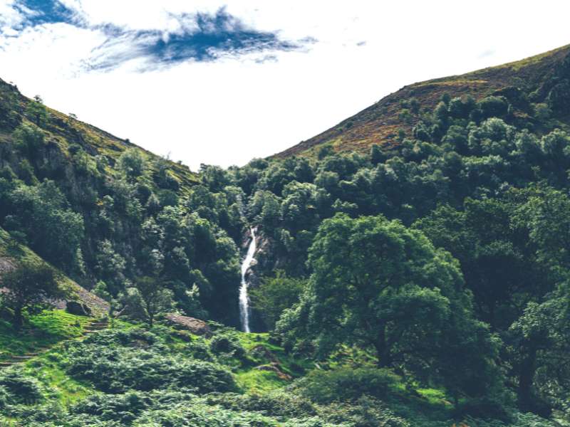
Look no further if you’re seeking one of the best walks in Wales that takes you past spectacular views and has a beautiful waterfall.
During this walk, you’ll be able to take a charming stroll through Coedydd Aber Nature Reserve. You’ll follow the path through some ancient woodland while catching glimpses of Aber Falls.
After an hour of hiking, you’ll eventually make it to the falls, where you can catch a breath and admire the stunning Rhaeadr Fawr (Aber Falls.
Once you’ve admired the falls, you’ll carry on the hiking trail which will loop you back to the main road, where you can head back to the car park.
#5 Llyn Ogwen Walk
- Trailhead: Ogwen Cottage Car Park
- Trail Length: 2.9 miles (4.7 km)
- Difficulty: Easy
- Elevation Gain: 122 m (400 ft)
- Trail Type: Loop
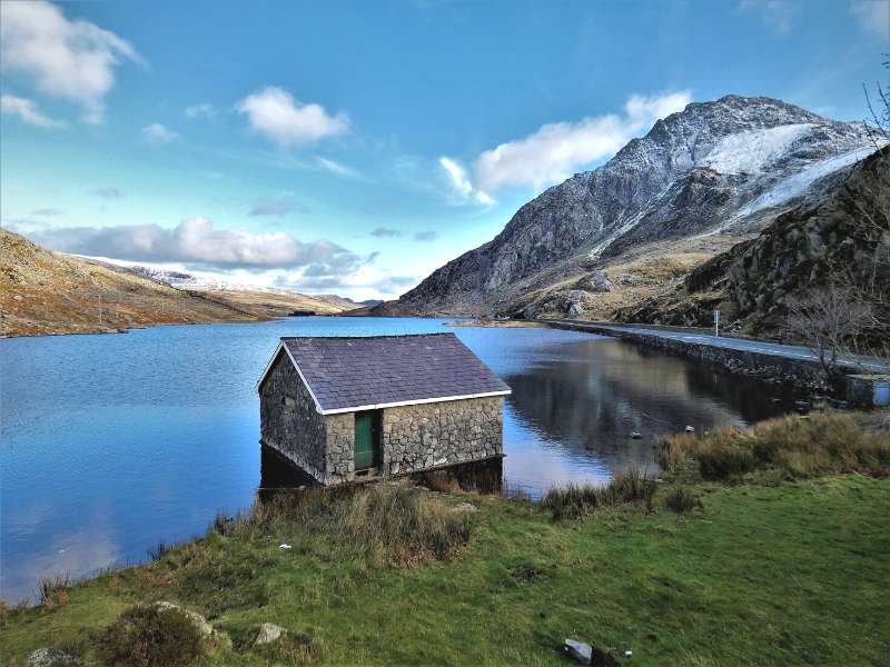
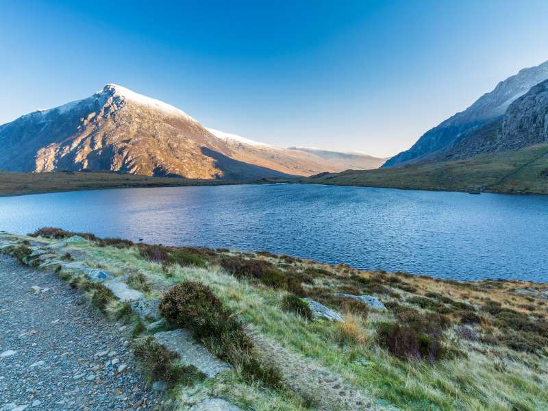
For those who want to be in the presence of Tryfan (the mountain in the Ogwen Valley of Wales) and get panoramic views without having to scramble up, the Llyn Ogwen Walk is an excellent option.
I’ve never personally done this route by itself, but I have walked around it after taking on Tryfan and the Glyders.
The hike won’t take you to the summit of any of these fantastic mountains. Instead, it takes you around the glacial lake, which legend says is the resting place of King Arthurs’s sword, Excalibur.
Navigation is easy; just follow the walking path around the lake until you reach your starting destination.
#6 Cnicht Walk
- Trailhead: Nant Gwynant
- Trail Length: 6.5 miles (10.5 km)
- Difficulty: Moderate
- Elevation Gain: 640 m (2,100 ft)
- Trail Type: Loop
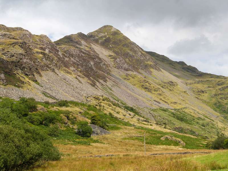
The Cnicht Walk is held in the same regard as Tryfan (part of the Glyderau group), but this route is a bit more isolated, which can make it a memorable walk.
There are many routes you can take up this mountain peak, but this section will focus on the loop from Nant Gwynant, which is less popular, but every bit as stunning.
You’ll start the route by passing through sheep-grazed fields before hopping over some stepping stones while having Mount Snowdon to your back.
Eventually, you’ll make it to ancient hut-dweller plateaus, which makes your ascent of Cnicht Mountain complete.
Don’t let the steepness intimidate you, it’s a reasonably consistent climb that does get challenging, but it shouldn’t be anything you can’t handle.
Once at the top, you’ll be rewarded for your hard work with lovely views of Snowdon and Glyderau to the North. If you look to the south, you’ll also get views of Moelwyn Mawr and Cwm Croesor.
It’s worth mentioning that for this route, you’ll need a map and be able to read it, at the point the trail isn’t very well marked.
From the summit, head over to Moel Meirch, down to Hafod Ydd Brithion, and then eventually back to your starting point.
#7 Mount Snowdon (PYG Track)
- Trailhead: Pen Y Pass
- Trail Length: 6.8 miles (11 km)
- Difficulty: Moderate
- Elevation Gain: 895 m (2,936 ft)
- Trail Type: Out & Back
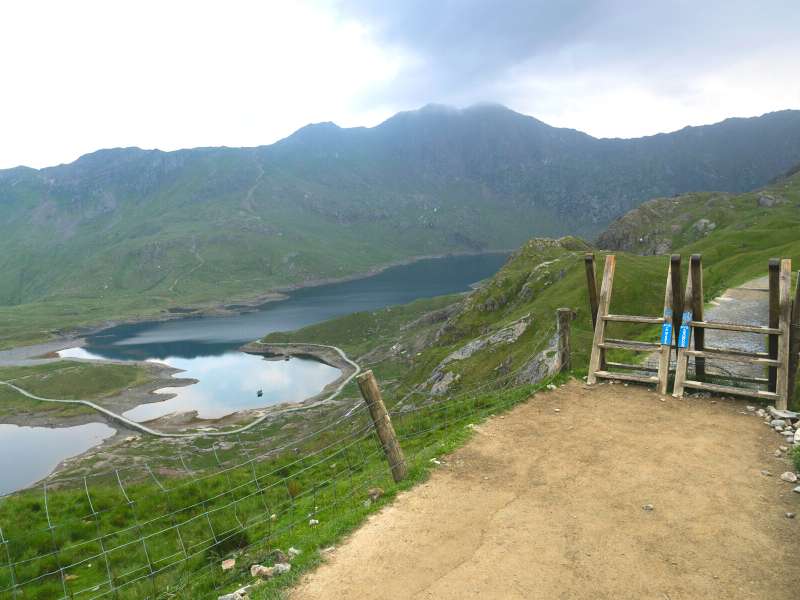
Mount Snowdon has already been mentioned on this list, but it’s a challenging route, and not everyone is up for it. So, for those of you that want to Snowdon’s summit without having to scramble, here’s the path for you.
The PYG Track is one of the most popular routes up Mount Snowdon because it’s one of the shortest. And while it doesn’t face any breathtaking scrambles, the landscape is pretty rugged, making the hike more challenging than you think. It’s the same path you take if you’re completing the 3 Peaks Challenge.
You’ll hike from Pen y Pass and make your approach towards Craig Fach. From there, you’ll continue walking toward Afon Glaslyn. Crib Goch will be on your right-hand side, where you might catch a glimpse of people attempting the knife-point ridge.
Continue on the trail, where you’ll wrap around before heading for the summit of Snowdon.
If you’re tired when you get to the top, you can stop off at the cafe for some food, and if you’re still not feeling it, you can use the train to get back down.
#8 Cadair Idris (Cader Idris) Mountain
- Trailhead: Dôl Idris car park
- Trail Length: 6.2 miles (10 km)
- Difficulty: Challenging
- Elevation Gain: 893 m (2,929.7 ft)
- Trail Type: Out & Back
This hiking route’s for you if you’re looking for something more challenging. Cadair Idris is considered one of the best walks in Snowdonia, and it’s physically demanding.
While working in Outdoor Education, my friends and I took this route, but we didn’t quite realize how taxing this route would be. I later took on the challenge again while practicing my winter mountaineering techniques.
We took the route via Minffordd path, which has a car park you can use. The trail is easy to follow, so you won’t need map-reading skills unless heavy clouds come in.
The hike starts through some ancient Celtic Woodlands, where you’ll pass some waterfalls along the way.
This part of the trek can be quite taxing, but it was nothing compared to what was about to come.
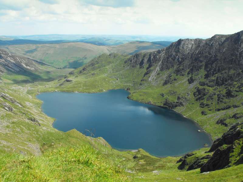
For me, everything is good until you reach Llyn Cau (a glacial lake), where the Cdair Idris mountain peak comes into view.
From there, it’s a very steep and never-ending trek that lasts between 200-300 meters. Once you’ve topped that section, it’s a nice steady incline to the summit, which is very much welcomed.
Once you reach the summit, you’re rewarded with beautiful views.
Then you return back the same way to return to your car after a tiring but spectacular day of hiking.
#9 Carnedd Llewelyn Mountain
- Trailhead: Car park near Rowen
- Trail Length: 13 miles(21 km)
- Difficulty: Moderate/Difficult
- Elevation Gain: 1064 m (3,490.8 km)
- Trail Type: Out & Back or Point-to-Point
This has always been considered the forgotten mountain, which is strange considering it’s the second-largest mountain in Snowdonia.
You can take this hike from two locations, but I’d recommend starting from Rowen. If you start from Idwal Cottage, you’re in for an extremely steep 700-meter ascent with plenty of scree (trust me, it’s not nice).
So, start from the car park and immediately begin your ascent. Continue up the hill and follow the nose of the ridge. Continue on this ridgeline, and you’ll pass over Foel-Fras, Foel Grach, and Carnedd Llewellyn.
You can either continue down a steep 700-meter vertical to Idwal Cottage and finish there, or, you can descend the eastern ridge to Afon Lloer; which is easier on your knees.
Your final option is to turn around and head back to your car from the summit; the choice is up to you.
Final Thoughts & Takeaways
Many of the best hikes in Snowdonia are some of my favorite in all of the UK. The scenery is so dramatic and full of adventurous activities.
That being said, the weather can change very quickly in this area. It can be sunny one minute, and the next, you’re in a complete whiteout and can’t see more than 10 meters in front of you.
Ideally, if you’re not great at map reading, it’s beneficial to head out in the summer or go as a group.
Stay safe and enjoy your time there; not many places in the UK are quite as dramatic as Snowdonia for walking and hiking.
